In search of Sherlock
on the Gemmi Pass
In search of Sherlock on the Gemmi Pass
Visit the “melancholy Daubensee” | From the Valais to Bernese Oberland | In the footsteps of Holmes and Watson
Ausgangspunkt | Gemmibahn top station, Leukerbad
Endpunkt | Sunnbüel
Duration | 2h30
Streckenlänge | 8.6km one way
Aufstieg | 120m | Abstieg | 526m
Technischer Anspruch | leicht |Kondition | easy (northbound) or moderate (southbound) – the hike is on a wide, well-maintained path throughout and is almost all downhill bar the final section – if completed in reverse, it would be a steady climb.
Familienfreundlich? Yes – fine for children who are regular hikers. You might be able to complete it (northbound) with an all-terrain stroller/buggy, but this is well outside my area of expertise and I would advise further research before committing to this!
Erfrischung | WC Stopp Yes – at both ends and at Schwarenbach (halfway)
Wegpunkte | Gemmipass – Daubensee – Schwarenbach – Spittelmatte – Sunnbüel
Beschilderung | Yes – yellow hiking trail / wanderweg
Author | Iain Lindley
About | Iain is from Salford, UK. He writes about hiking in the English Lake District and beyond on his Iain Walks website, as well as uploading the occasional video to his YouTube channel. In addition to his love for the Lake District, he is particularly fond of Bernese Oberland and the levadas of Madeira.
Website | Iain Lindley – Iain Walks
Social media | Iain Lindley – Twitter | Iain Lindley – Instagram | Iain Walks – Facebook | Iain Lindley – YouTube
In “The Final Problem”, Sir Arthur Conan Doyle describes Sherlock Holmes and John Watson’s journey over the Gemmi Pass on their way to the fateful meeting with Moriarty at the Reichenbach Falls. Hiking from Leukerbad to Kandersteg over the Gemmi Pass delivers great and varied views and a different perspective on hiking in the Swiss Alps, as well as the chance to follow in the footsteps of the great detective himself.
Following the footsteps of Holmes and Watson over the Gemmi Pass
“For a charming week we wandered up the Valley of the Rhone, and then, branching off at Leuk, we made our way over the Gemmi Pass, still deep in snow, and so, by way of Interlaken, to Meiringen” – Dr John Watson in “The Final Problem”, Sir Arthur Conan Doyle, 1893.
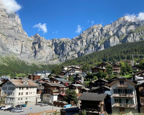
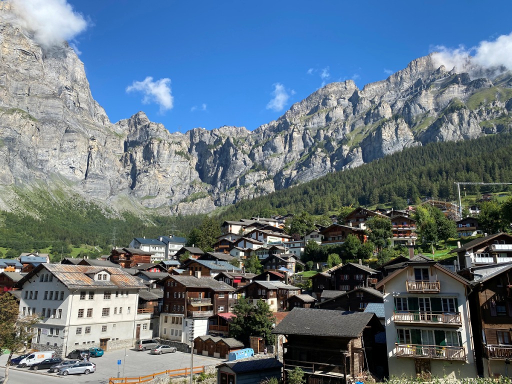
The towering wall of rock that comprises the Gemmi Pass looks like an insurmountable obstacle from the pretty streets of Leukerbad (Loèche-les-Bains en Français). That’s not actually the case – the path to the top of the pass is steep and relentless, and it’s a long way down, but it is perfectly serviceable and has no technical difficulties for an experienced hiker.
- Photo 1 – Gemmi Pass from Leukerbad
It would be nice to pretend, dear reader, that I write about the steep slog upwards with first-hand experience, but that would be entirely misleading. I took the Gemmibahn cable car to the top like almost everybody else. One of the joys of this hike is the option to extend it as far as your time, fitness, and sense of adventure allow. The largely downhill amble from the top of the pass to the top station at Sunnbüel takes a shade over two hours at a normal walking pace, but it’s perfectly possible to go the “full Sherlock” via the narrow path above Leukerbad and a gentler descent into the Kandertal.
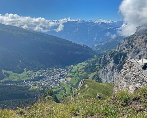
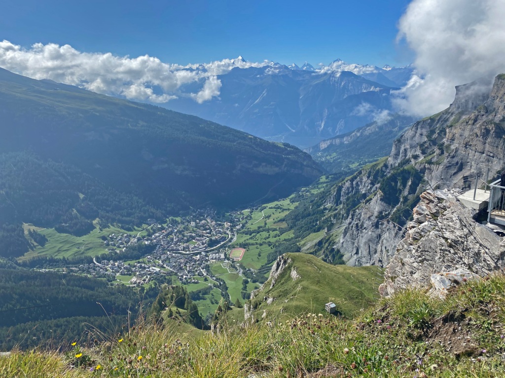
Whatever your preference, take a moment to look south from the top of the Gemmibahn over Leukerbad to the Rhone Valley and beyond – one of the very best viewpoints to see the breadth of the Pennine Alps in their full magnificence, with a host of 4,000m peaks including the Weisshorn and the Matterhorn well seen on a clear day.
- Photo 2 – Leukerbad and the Pennine Alps from Gemmi Pass
The melancholy Daubensee
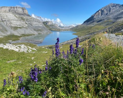
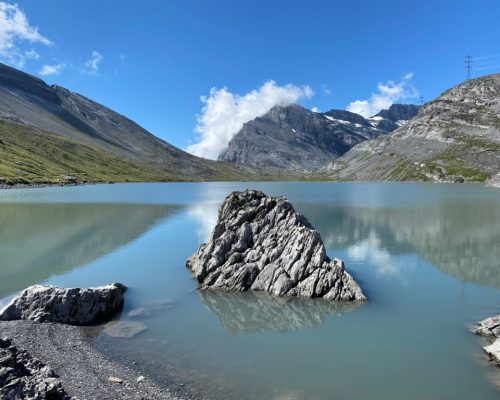
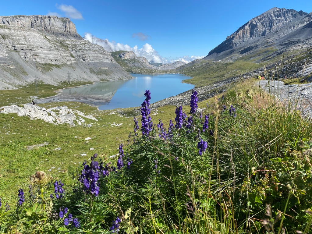
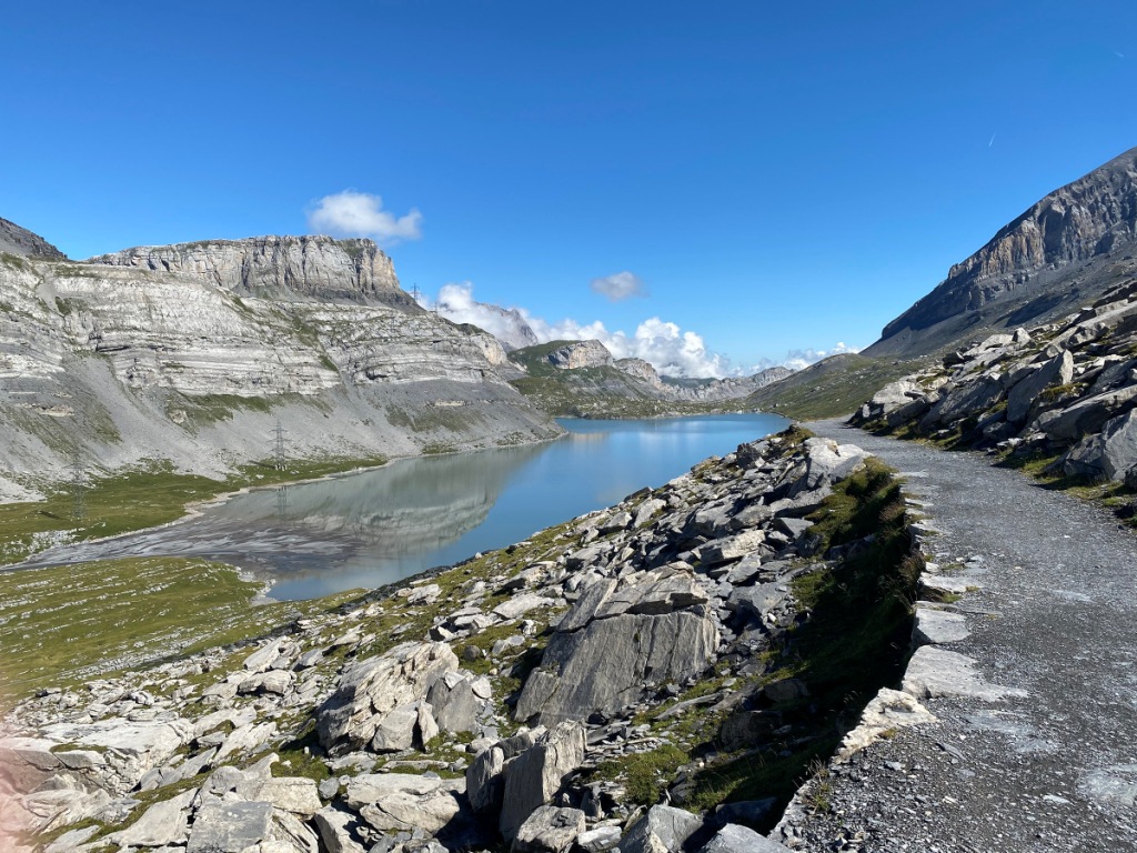
John Watson described Daubensee as “melancholy” and as you set out north from the cable car station or the Gemmi Lodge, you can see why. It has a desolate beauty, with barren and greying scree-like slopes plunging towards the lake from the Steghorn and Rote Totz to the west and the Rinderhorn to the east. It isn’t postcard-perfect, but that makes it all the more compelling.
- Photo 3 – Daubensee
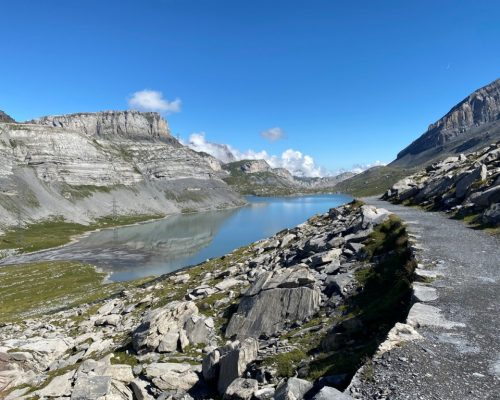
There’s a choice of paths here, and a full circular walk around the lake is possible for those blessed with additional time, but I chose to keep to the main trail, which descends gently on the eastern side of the water. The Gemmibahn cable car has a little sister which runs from the top station back down to the southern end of the lake. This was built in 2003 to replace an older chairlift on the same route, giving summer access to the lakeshore for those who may not be able to manage the hike down and back.
- Photo 4 – Daubensee lakeside path
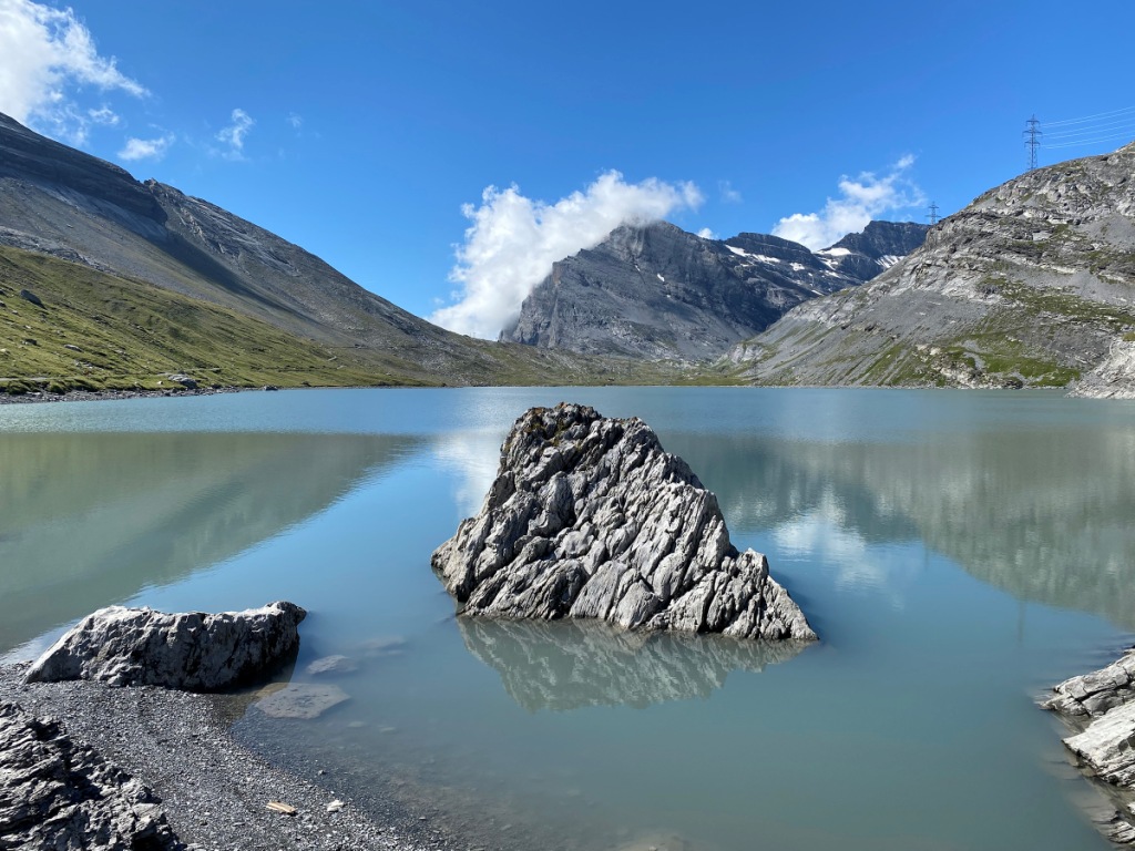
Unlike many alpine lakes with their tantalising clear blue water, the grey-blue of Daubensee doesn’t really lend itself to swimming, although I saw a few people tentatively dip in their toes at the north end where the path meets the lakeshore. Of more interest is the view back towards the Daubenhorn, as well as a striking and unexpectedly beautiful rock rising out of the lake. I spent more time than I would care to admit making sure I took a great picture of the rock. Do let me know if you think I managed it!
- Photo 5 – The Daubensee rock and the Daubenhorn
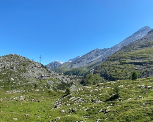
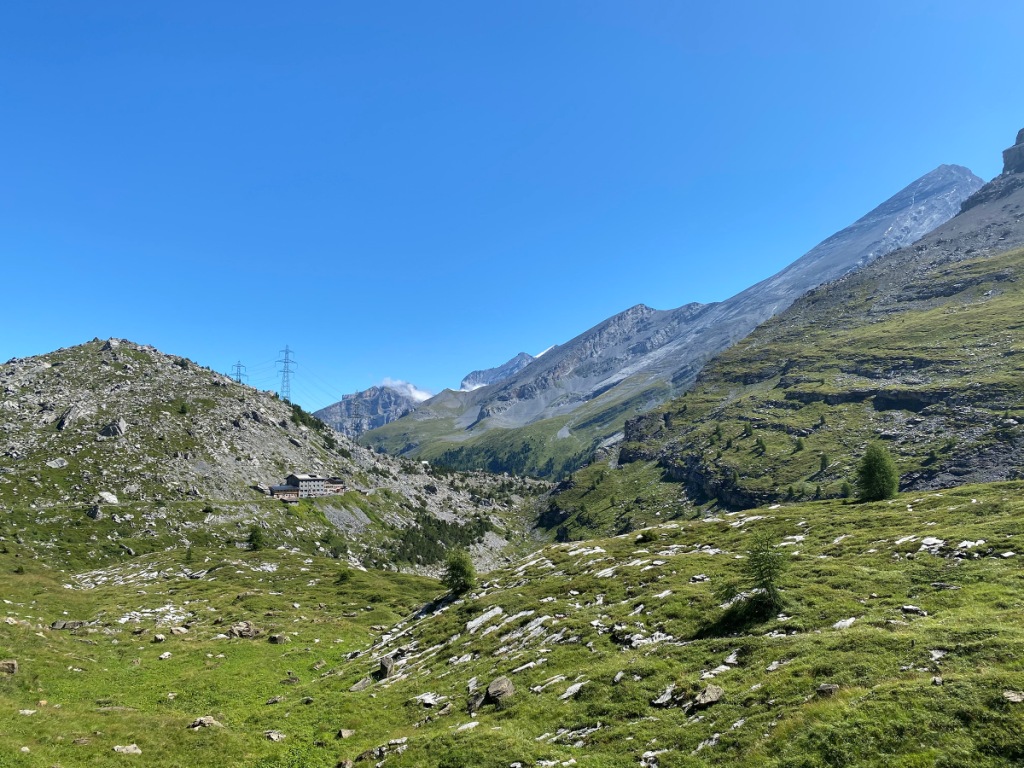
After leaving the lake behind, the trail descends through the rocky terrain – grey tinged with green – before reaching the Berghotel Schwarenbach. At an altitude of 2,060m, Schwarenbach is roughly the halfway point both in distance and in descent.
- Photo 6 – Descending to Schwarenbach
Spittelmatte meadows and the boundary stone
After leaving Schwarenbach, the path winds north-east around a subsidiary peak below the Wyssi Flue summit. As the vista widens, the finishing line at Sunnbüel comes into view. This is a land of contrast. The grey, almost lunar, slopes of the Uschenegrat ridge to the west and Altels and the Chli Rinderhorn to the east sweep down to the green alpine meadows and Swiss stone pines of Spittelmatte.
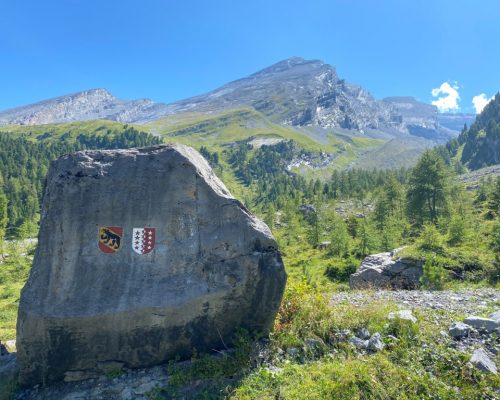
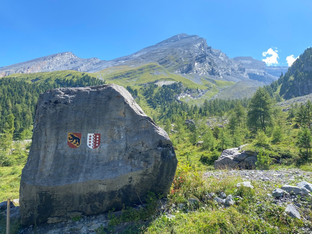
I was fascinated – I still am fascinated – by the north-western flank of Altels; it is an enormous, imposing rock slab which must feel never-ending to anyone dedicated enough to seek to climb all the way to the 3,630m summit. It reminded me of the great slab of Bowfell in the Lake District, but it is many magnitudes larger. This almighty slab is dissected by the cantonal boundary between the Valais and Bern. The boundary runs through the summit before crossing the trail at right-angles in the valley far below. An impressive boundary stone is a fine reminder that you are now leaving the Valais for the Bernese Oberland.
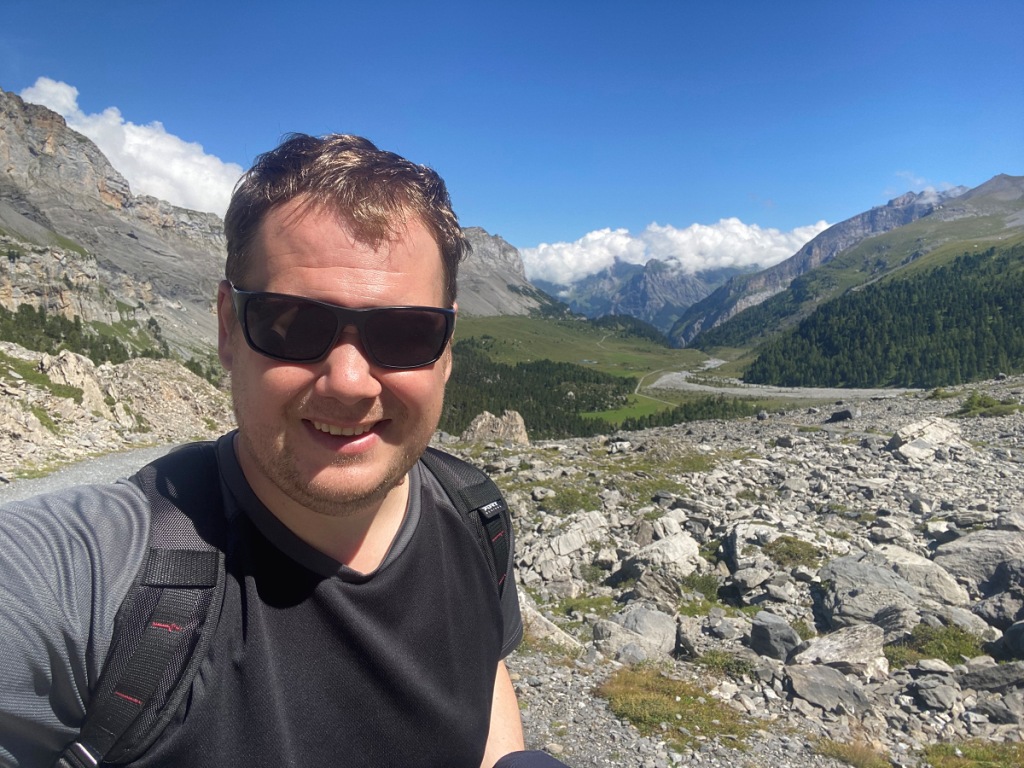
- Photo 7 – Spittelmatte selfie
- Photo 8 – Boundary stone and Altels
The path reaches the floor of the walk in the Spittelmatte meadows at an altitude of 1,871m, before rising steadily to the Sunnbüel cable car station at 1,933m. There’s a well-marked circular walk, or rundweg, through the valley, leading to the Arvenseeli – three beautiful meltwater lakes. Sadly, the crystal-clear waters of the Arvenseeli usually dry out by midsummer, so to avoid disappointment I declined the diversion and added it to my ever-expanding list of places to explore in the future. I’ve never been to Bernese Oberland in the springtime.
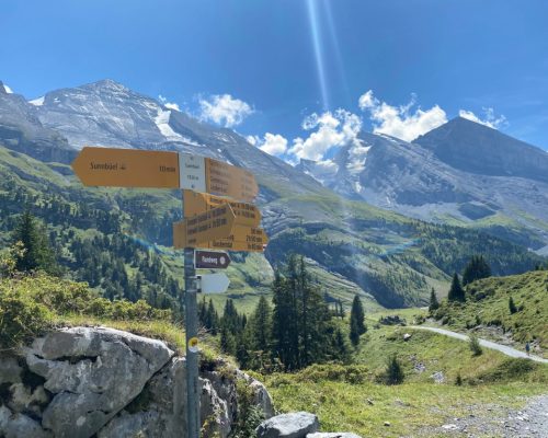
Reaching the final signpost before the cable car station, there’s chance to look back over the meadows towards Altels and the Rinderhorn. The view is spectacular, but it is a different and more rugged beauty than any of the other Swiss hikes I have undertaken. The trail is open for winter hiking and left me to wonder what impression the Gemmi Pass would leave when the rugged grey and green is replaced by the white of the midwinter snow. Another one for the list!
- Photo 9 – Sunnbüel signpost
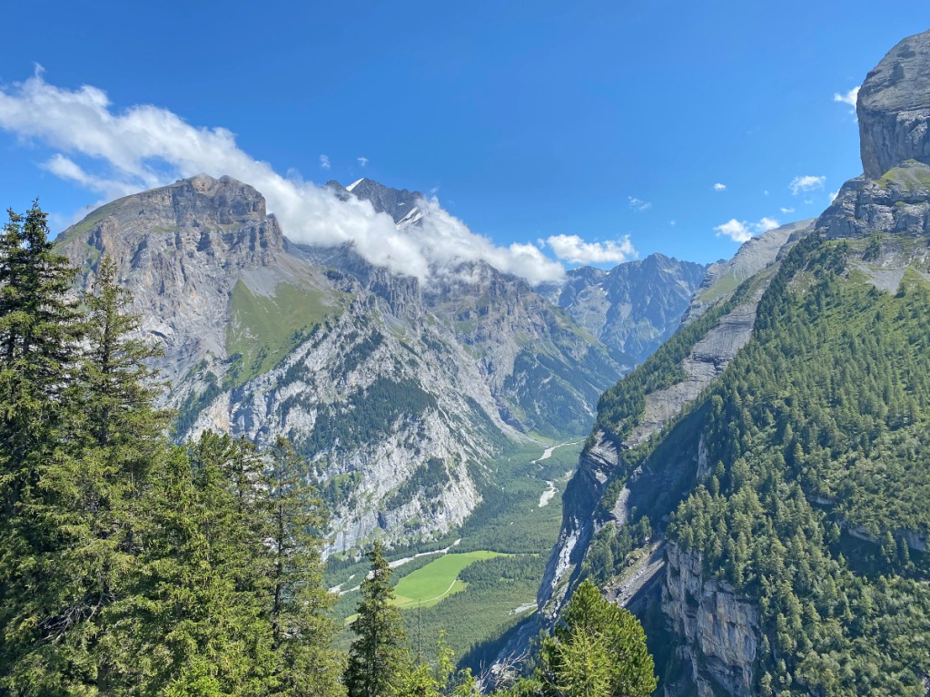
The hike has one final delight. The Gasterntal is not on the main tourist trail, mainly because there are only two ways in and out – the narrow road to Kandersteg, or the high alpine traverse on foot over the Lötschenpass. The view from Sunnbüel gives you a rare glimpse into the Gasterntal’s quiet beauty, with the Innerer Fisistock and the Doldenhorn on sentry duty across the valley.
- Photo 10 – Gasterntal from Sunnbüel
Getting there and getting back
“The Final Problem” is set in 1891, and aside from explaining that their route took them through Interlaken, Conan Doyle does not provide any detail about how Holmes and Watson reached Meiringen from the Gemmi Pass. One might deduce that they hiked to Spiez, as the railway did not reach Kandersteg until two full decades later. From Spiez, a combination of ship and train would have taken them all the way to Meiringen without taxing their weary feet further.
Travelling (or returning) from Kandersteg to Leukerbad is not quite as tiring but it is nonetheless a somewhat circuitous trip – a ride on the BLS Lötschberger from Kandersteg to Brig, the SBB service from Brig to Leuk, and the bus up the valley to Leukerbad – the railway to Leukerbad closed in 1967. Ironically the walk through the village to the Gemmibahn valley station is probably steeper than any section of the hike itself. From the Sunnbüel valley station, you can take the bus back into Kandersteg, or you can wander along the Kander past the International Scout Centre and the northern portal of the Lötschberg tunnel.
It’s not an elementary journey, but it brings a worthy reward.

