Hiking in Glarus | The Roman trail
08|03|2020
Hiking in Glarus | The Roman trail
Versatile | Great hiking in Glarus | Picturesque trail | Stunning views
Die Fakten:
Ausgangspunkt | Train station Näfels – Mollis
Endpunkt | Train station Mühlehorn
(from there we can take a bus 511 or train s4 back to Näfels – Mollis)
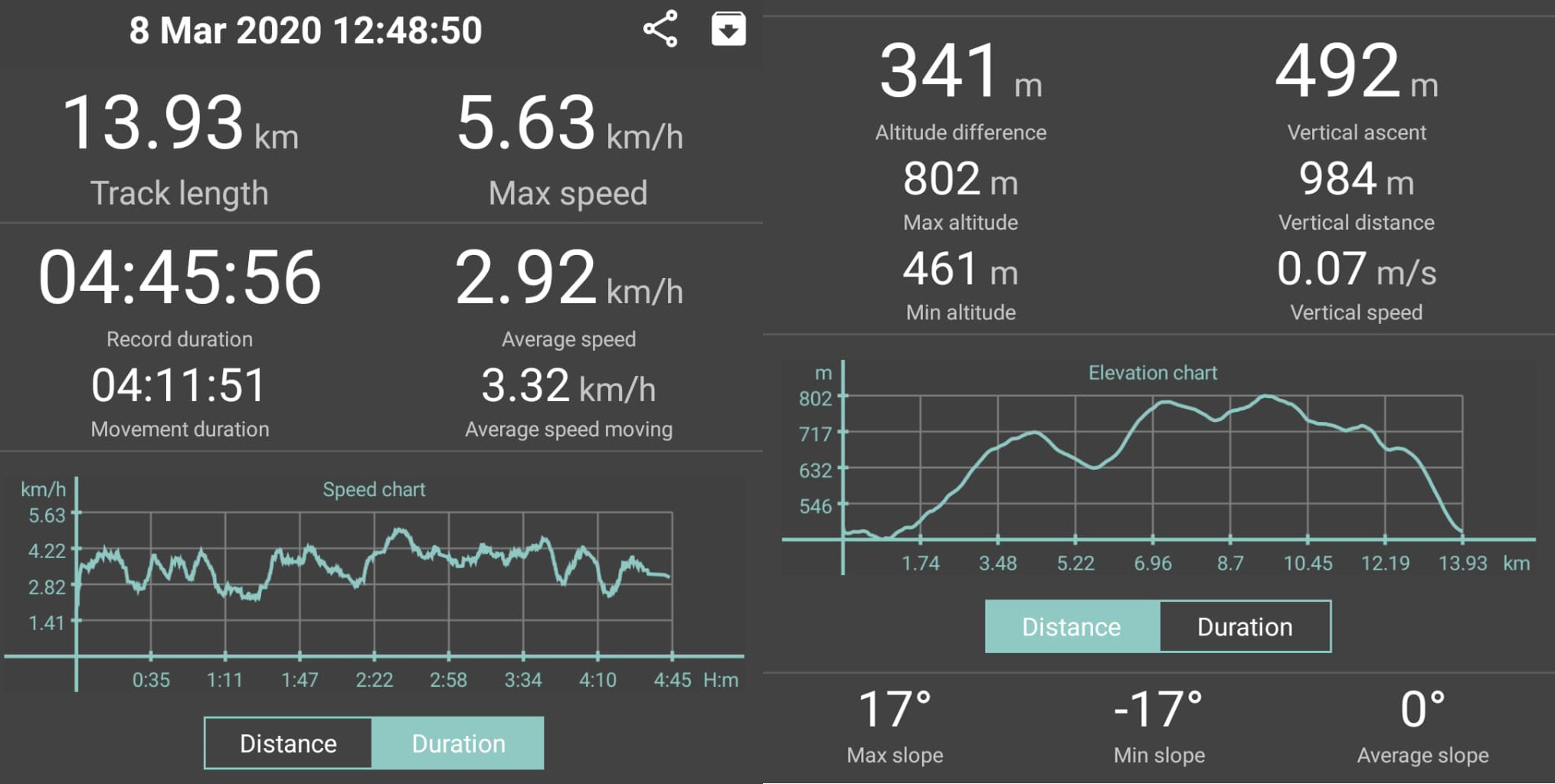
Duration | 4 hrs 15 minutes
Streckenlänge | 14 km
Aufstieg | 468 m | Descent | 479 m
Technischer Anspruch | leicht
Kondition | moderate
Beschilderung | provided 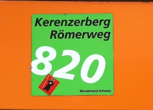
(Kerenzerberg Römerweg 820)
An utterly enjoyable hike in Glarus with a variety of changing sceneries and striking sights! In other words, quaint and victorious villages, lush green lawns lined by roman walls, and impressive mountain massifs. In addition, deep dreamy valleys, majestic cooling forests, poster-like lakes, some visible and some invisible waterfalls and so much more. Simply amazing! A lot of huffing and puffing from Krisztian provides further entertainment!
Hiking in Glarus | Let´s get started!
This fabulous hike started off in the small village of Näfels, located in the Glarner Unterland area within the canton Glarus. The village is famous for the battle of Näfels which was fought in 1388. For those of you who are interested in the history of the Swiss confederation and all that fun stuff, you might want to dig a little deeper. There is plenty of information available online or you can check out the local museum. “The museum of the Country of Glarus” is located in the 17th century baroque manor called “Freulerpalast”. This splendid building is one of the most magnificent manors in Switzerland.
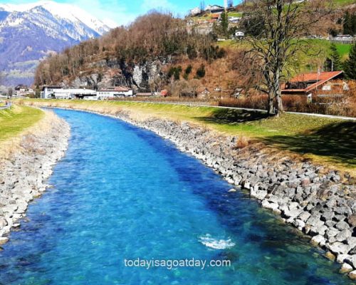
For us, Näfels set the starting point of this amazing tour. Once we set ourselves up, our attention was straight away caught by the cleanest and most transparent river, the Linth. It is not only amazingly clear but also remarkably powerful, as it drives a system of hydroelectric power station. Great! Clean energy, we like that! We took the first pictures. After that, we crossed the river, by following the clearly visible signs into the lovely little village of Mollis. The small town is full of pretty manor houses, thick green lawns and blooming flowers. Here we took more pictures and congratulated ourselves on the well-chosen hiking track.
The first ascent of this hike in Glarus | The huffing and puffing begins
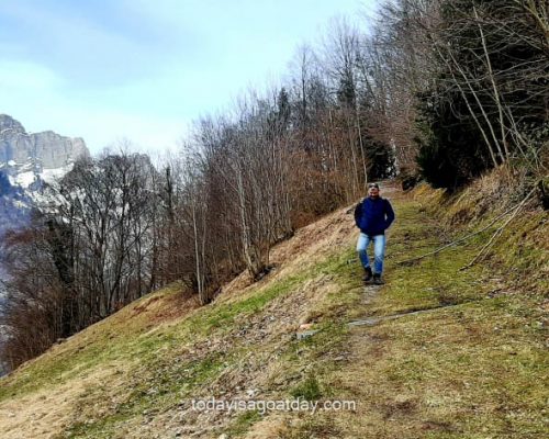
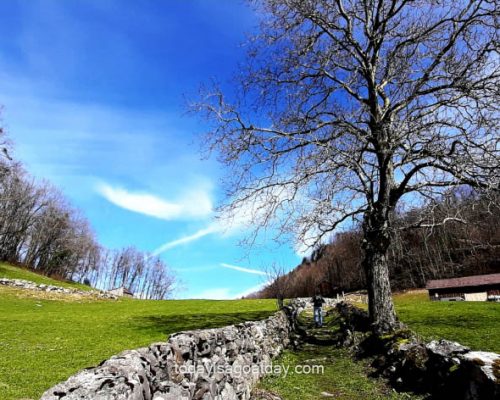
Just a few minutes later we found ourselves going upwards on a picturesque path, lined by dry stone walls. The first ascent of our route! Behind me, I heard Krisztian starting to breathe heavily. I had to smile. After many many walking tours in Switzerland, I am still amused of how passionately deep and hefty he can start breathing after just a few meters. Completing the picture of a hardworking man, the breath was immediately accompanied by little sweat pearls on his forehead. At least this drew the attention away from my own heavier breath…
The beautiful Kerenzerberg pass road
The Kerenzerberg pass road connects Mollis and Mühlehorn above the beautiful lake Walen. It was built in 1848 and has a maximum grade of 10 percent. We could surely feel that already.
The hard work, however, was instantly rewarded with impressive views over the summits of the Glärnisch towards the south-west.
The Glärnisch is a mountain massif of the Schwyz (yet another charming canton of Switzerland) Alps, overlooking the Linth valley. It consists of several summits, of which the highest, Bächistock, is 2,915 metres above sea level. Another main summit is called “Vrenelisgärtli”, Verena’s little garden. Isn´t that a pretty little name for a 2,904 metres high mountain? So innocent and flowery, considering that it will probably make you sweat and curse trying to hike it up. At least for some of us.
A well-placed bench and a wonderful view
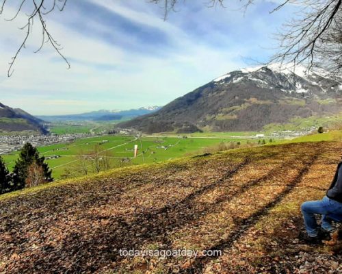
In the northern direction, the valley opens up offering sweeping views over the “Linthebene”. The Linthebene is a geographical region in eastern Switzerland between lake Zurich and lake Walen. It comes as no surprise, that this region named after our pure and strong Linth river. A strategically well-placed bench invited us to sit down and enjoy. We took the offer gladly.
Being filmed from behind
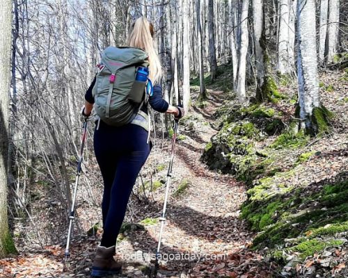
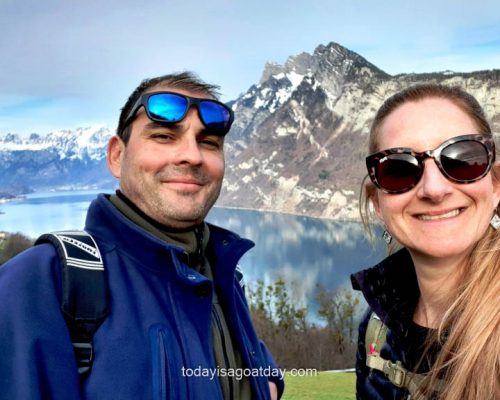
Once fully revitalised, we entered the “Britter” forest where we continued the ascent, step by step, breath by breath. Behind me I noticed Krisztian taking videos whilst fiddling around with his walking poles at the same time. Multi-tasker, as opposed to me (who would have tripped twice already over my own feet).
I wondered about the outcome of this video. In other words, I thought about being filmed from behind. The camera was on the same level as my buttocks whilst I used my poles to pull myself upwards and forwards. Bravo. I decided to push these thoughts away and rather relished the cool air of this delightful forest. Every now and then we crossed tiny little rivers emerging from refreshing slim waterfalls
Hotel Römerturm
After a while we made it up to the Hotel Römerturm, an opportunity to enjoy a meal with one-of-a-kind view. If you tend to get up early in the morning to prepare snacks for your walks and hikes, hang on just a little longer. Comfy benches and picnic opportunities with the same one-of-a-kind-view will come up shortly. We had prepared a range of sandwiches, fruits, nuts and some not so healthy snacks and therefore continued our walk.
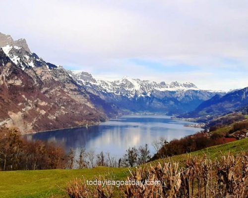
The lake Walen poster
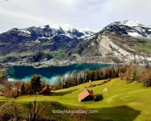
Lake Walen, one of the larger lakes in Switzerland, stretches over two cantons. About two thirds of its area is in canton St. Gallen and about one third in canton Glarus. Three main rivers are leading to the lake, Seez, Murgbach, and of course our well-known river Linth. The Churfirsten range raises steeply on the north side of the lake. On the south, however, the lake is overlooked by the Mürtschenstock massif.
In this spot we had to take quite a couple of pictures and videos. Firstly, the perfection of the photos seemed almost unreal. Secondly, they were giving the impression that we were standing in front of a massive lake Walen poster, rather than the real thing. Hiking in Glarus at its best! Check it out.
The lake is simply too beautiful. As a result, it provided inspiration for a solo piano piece by another Hungarian, the romantic composer, Liszt Ferenc. The piece, “Au lac de Wallenstadt”, is part of a collection of his works inspired by his travels to Switzerland in the 1830s. It seems that more than one Hungarian heart has been touched by the view.
Another sight during this hike? This is too much!
We were uncertain where to stop, eat and enjoy. There were just too many lovely benches here (all providing a more than spectacular view over the lake). Above all, we passed by a sign stating that from here we can also see the Seerenbach falls.
We started reading, whilst looking up further information on our phones. The Seerenbach falls are a cascading set of three waterfalls with a total height if 585m. With almost 600m of vertical height, the Seerenbach falls form one of Europe’s tallest waterfalls. Directly below the point where the Seerenbach cascade comes crashing down is the place where the so-called Rin source leaves the mountain and falls over a 45m tall rock face into the Seerenbach. The Rin source is one of Europe’s largest subterranean river systems.
This is too much, we haven`t even gotten over the lake-Walen-beauty-shock yet!
We continued to read. During the melting of the snow and after heavy rainfall, up to 10,000 litres of water per second plunge through the Seerenbach gorge. In times of low rainfall, however, the waterfalls can dry up occasionally. We stopped and looked over to the other side and saw nothing.
The “highest”, “steepest”, “longest” and “oldest”
In fact, we were a little relieved. There are just too many the “highest”, “steepest”, “longest”, “oldest” and so on natural and manmade wonders here in Switzerland. Sometimes one cannot process all that beauty in one day. We finally sat down and took a rest. Moreover, we let the experiences so far settle in and enjoyed the full-frontal undisturbed view of lake Walen – bliss!
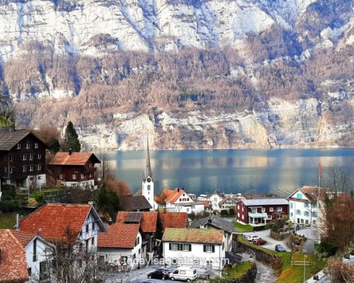
After our break, the hike was purely enjoyable and easy-going along the Roman walls and idyllic meadows. We passed one charming village after the other (Filzbach via Reutegg to Obstalden and on to Walenguflen). And always kept the poster-like lake to one side and the mountain massifs setting the background – what a treat!
The Roman saw bridge | The final highlight during this hike in Glarus
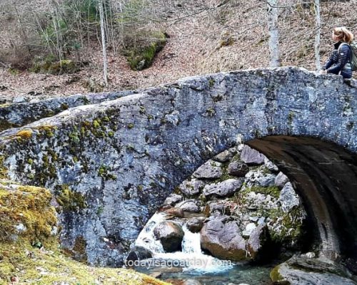
Another highlight towards the end of this tour is the charming Roman saw bridge. The bridge crosses the Meerenbach river and initiates the descent towards Mühlehorn. A beautiful footpath led us down through the small town of Mühlehorn to the train station.
From here we took the bus 511 back on a scenic route to Näfels – Mollis. During the ride we bypassed many of the lovely places we saw during our hike. You can also take the train s4 – whatever suits you best.
Once we arrived back at our car, we sat down in our trunk and took off our walking boots.
We took a long breath in and a full breath out. What a wonderful day.

