Top hike in Olten | A hike between heaven and hell
04|10|2020
Top hike in Olten | A hike between heaven and hell
Unexpected | Top hike in Olten | Diversified
Die Fakten:
Ausgangspunkt | Parking lot above Schützenhaus Hägendorf / Gnöd (bus stop)
Endpunkt siehe oben - Rundweg
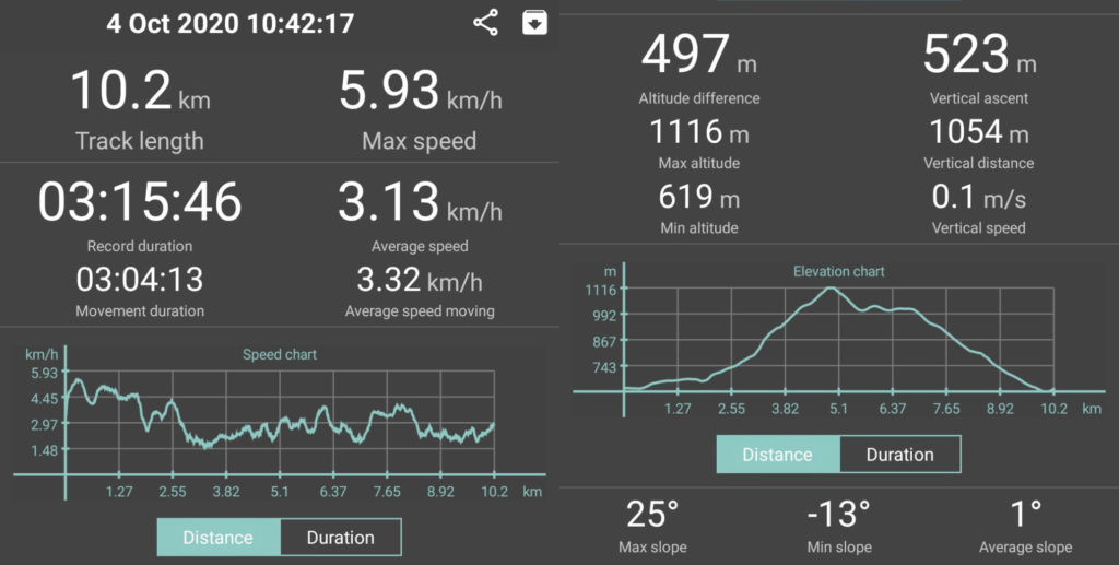
Reine Laufzeit | 3 hrs
Aufnahmedauer insgesamt | 3 hrs 15 minutes
Streckenlänge | 10.2 km
Aufstieg | 497 m | Abstieg | 497 m
Technischer Anspruch | leicht |Kondition | easy to moderate
Familienfreundlich? Not suitable for prams, small children and dogs due to the “iron ladder”
Erfrischung | WC Stopp Ja
Wegpunkte | Hägendorf Gnöd – Eiserne Leiter (iron ladder) – Gwidemhöchi – Belchenflue viewpoint – Gwidemhöchi – Wuesthöchi – Allerheiligenberg – Teufelsschlucht – Hägendorf Gnöd
Beschilderung | provided 
This top hike in Olten led us from Hägendorf via the “iron ladder” to the fantastic view point “Belchenflue. From there we walked back down the “Allerheiligenberg” (holy of holiest mountain) and through the “Teufelssschlucht” (devil´s gorge) back to Hägendorf. An unexpected and very diversified hike in Olten!
An unexpected companion
For the first 20 minutes we followed the path from Hägendorf parking along the motorway towards the Fasiswald (Fasis forest).
The predicted peaceful and enjoyable beginning of this hike changed slightly with the arrival of an unexpected companion.
A local dog decided to join us.
If you are imagining an exciting, tail-wagging, happily panting dog circling us, you are mistaken. Sadly! This one rather felt like a stray, even though it was very nicely kept.
Generally speaking, we both like animals. This time, however, no matter how hard we tried, we couldn’t find any warmth within ourselves towards this dog. His presence felt somehow menacing. It felt like he was keeping us in place, like a small little herd of humans. If sheep feel like this around their guardians, poor them!
Luckily, our unwanted companion left us when we entered the forest. He must have known what was coming….
Challenges | The thing about heights
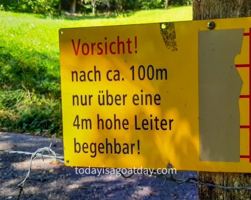
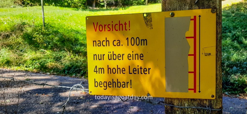
A bright yellow and red signage in most cases announces an upcoming hiking “challenge”. In our case, this “challenge” was a four-meter-high ladder.
Don´t you love the word “challenge”?
To me, a “challenge” whilst hiking usually means some scary, unprotected and dangerous stuff. What comes to my mind are exposed ridges (like hier), frightening suspension bridges or steep, long, slippery ladders.
Others would prefer to think of adjectives like: “Exciting”, “thrilling” or, well yes, simply “challenging”.
We probably have a classic “Is the glass half empty or half full?” situation right here. No matter how you look at it, however, these hiking “challenges” mostly have one thing in common: heights.
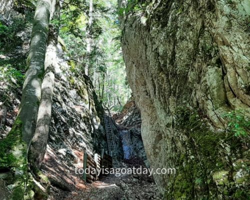
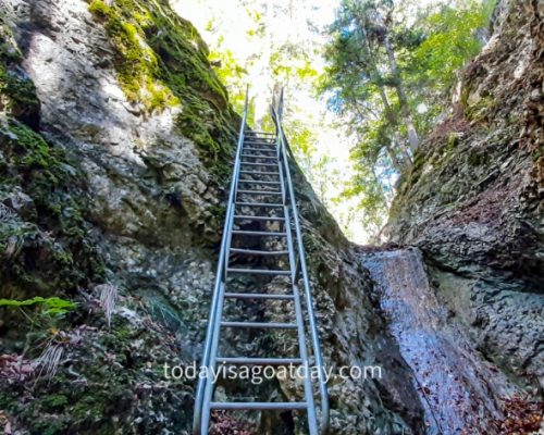
The iron ladder
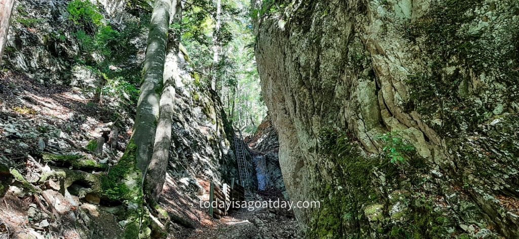
From far, the ladder did not look that scary in all fairness. My spirits went up immediately. After my friend, slowly but steadily climbed up the ladder, I was even more motivated.
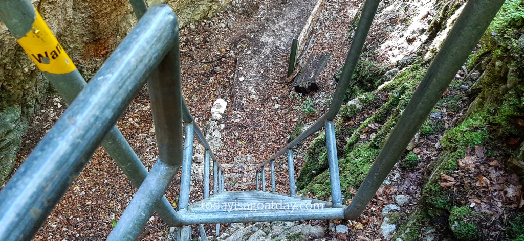
Standing right at its foot, however, looking four metre upwards, my determination started to crumble to some extent. Nevertheless, here we were and I was not prepared to give up. Therefore, I started climbing up the ladder slowly.
About half way through my hands started to sweat a little and fear rose inside me. Instead of letting it grow, however, I pushed the thought aside and moved on. Phew, that was close…
Note to myself: Do this walk another time with Krisztian to find out if it gets easier once you know what is coming. I also would like to show him this cool trail, of course!
The “Fasiswald” forest
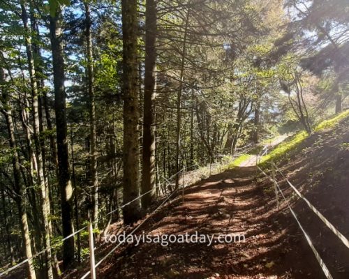
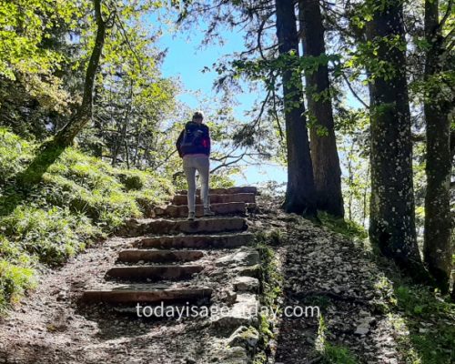
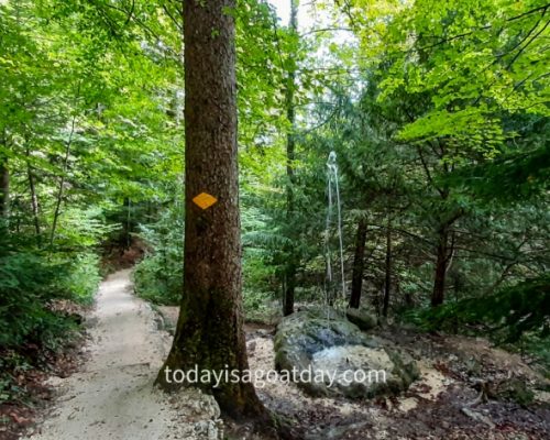
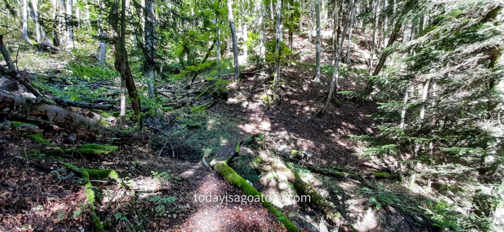
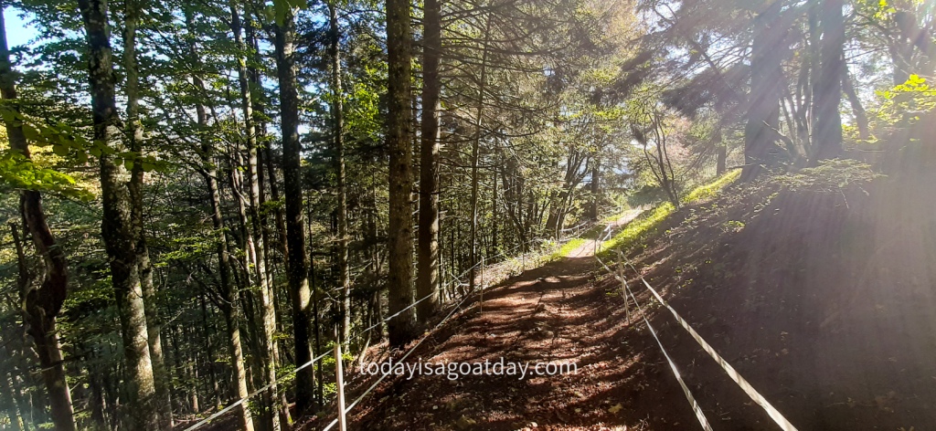
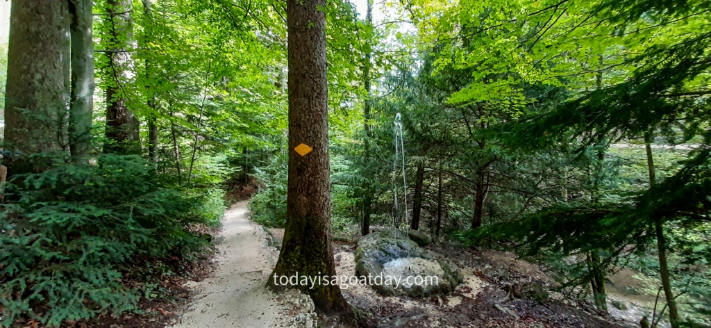
What now followed was a tremendously pleasant hike through the forest called “Fasiswald”.
This day had turned out much nicer than the weather forecast predicted. Instead of clouds and rain, there was unexpected and very welcome sunshine. Therefore, the ascent through the forest was simply lovely. The sunrays making their way through the trees and onto our faces!
The incline wasn´t too steep, the terrain not slippery and the forest trail subsequently very enjoyable.
Gwidemhöchi
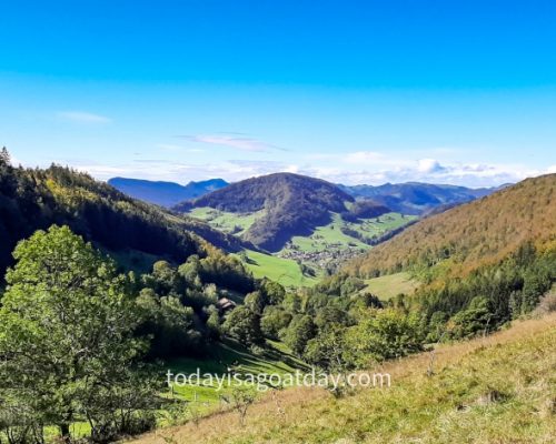
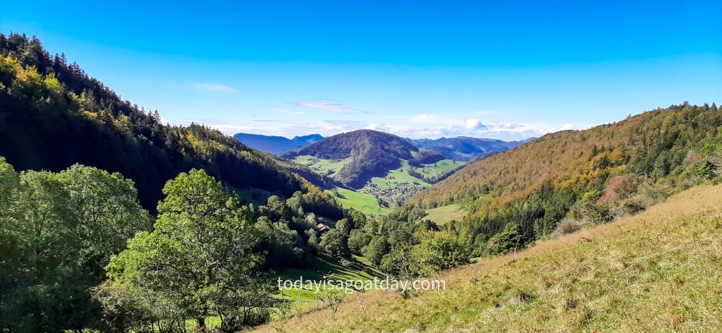
After a while we emerged from the forest and stepped out onto the opening “Gwidemhöchi” at 998 metres.
It does not always require four-thousand-meter-high mountains, crystal-clear turquoise lakes, overwhelming gorges, roaring rivers or spectacular waterfalls.
Sometimes the simple beauty is already spectacular enough. In our case, this was the gorgeous lush green Fasis forest followed by a lovely opening onto the valley.
Hence today, Gwidemhöchi (never heard of before) was our “Zermatt” sowie die Belchenflue (never heard of before, either) would be our “Matterhorn”.
In case you haven´t heard of these two: Zermatt is one of the most popular tourist destinations in Switzerland. Zermatt is packed with exactly what was mentioned before: four-thousand-meter-high mountains, crystal-clear turquoise lakes, overwhelming gorges, roaring rivers and spectacular waterfalls.
Apart from all these, there is the Matterhorn, the most photographed mountain in the world.
Back in Gwidemhöchi, however, one can decide to hike up to Belchenflue or to turn back down again, direction “Allerheiligenberg”. We definitely advise you to walk up to Belchenflue peak and thereby hike an additional 30 minutes. It is well worth it!!
The mysterious “Belchen” system
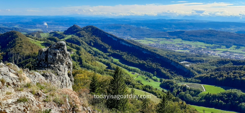
But what on earth is actually the “Belchenflue”??? Here comes the answer. The Belchenflue is a 1,099 m high Jura mountain, located on the canton borders of Basel-Landschaft and Solothurn. If you want to know more about the fascinating Jura (ssic) mountains, check out our Creux-du-Van hike right here .
Furthermore, the Belchenflue belongs to the mysterious “Belchen” system of five mountains located in Germany, France and Switzerland. In order to distinguish it from its “Belchen” siblings, the Belchenflue is also known as the Swiss Belchen. Some sources suggest that the mountains have been used by the Celts as a solar calendar.
Belchenflue, here we come!
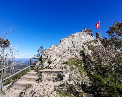
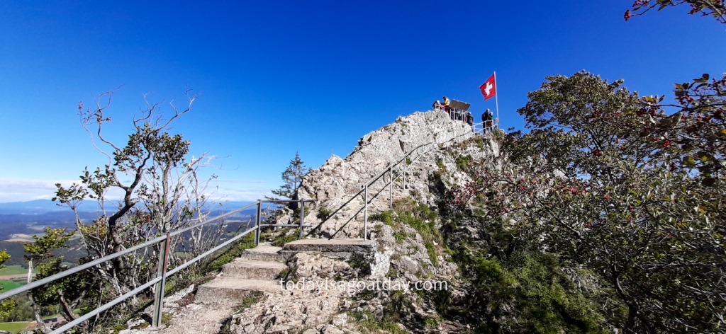
The last part of the trail to the summit is a staircase carved out of the rock and secured with railings.
It comes as no surprise that the mountain is a very popular lookout point.
This is the climax of the “heaven” part of our hike between heaven and hell!!!
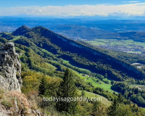
On clear days, there is a beautiful panorama of the Alps, the Black Forest and the Vosges. This route certainly is a top hike in Olten!
Clear view of the Mediterranean Sea
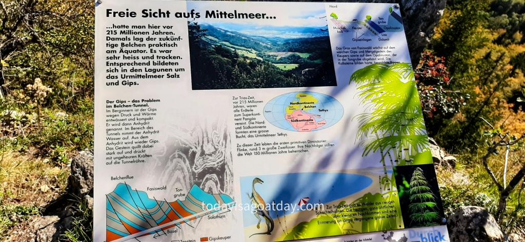
“Clear view of the Mediterranean Sea” announces an information board on the summit.
What??? Well yes, 215 million years ago! During the Triassic period all continents were united to the super contingent Pangaea. At that time the future “Belchenflue” lay practically at the equator, funny!
Next stop: Allerheiligenberg (holy of holiest mountain)
After having enjoyed the wonderful “view of the Mediterranean Sea”, we descended back down the same path we came from.
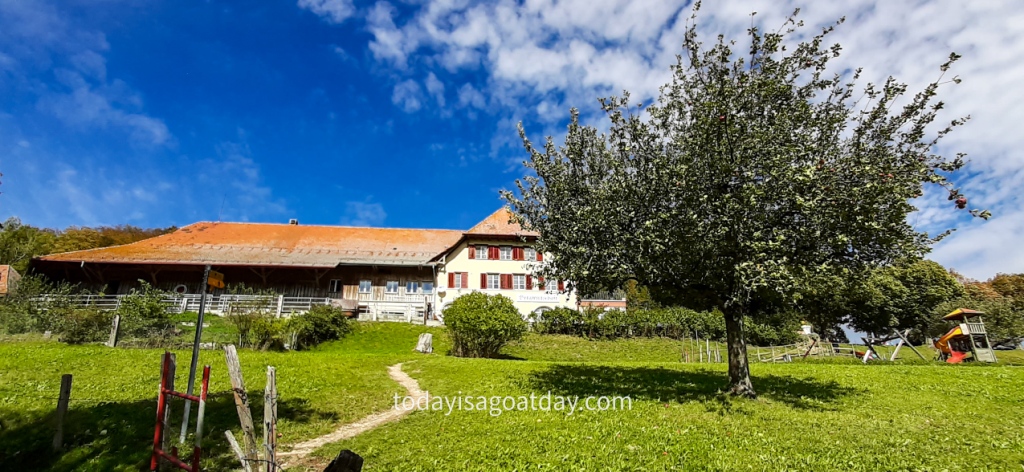
Back at Gwidemhöchi, we had to follow the signs to “Allergeiligenberg”. Here, at Bärgwirtschaft Allerheiligenberg you can treat yourself to a fine meal and refreshment and enjoy splendid views.
We continued our route, eating apples and grapes as we walked, keen to discover the next highlight of this tour. The “Teufelsschlucht”.
Top hike in Olten | The hell
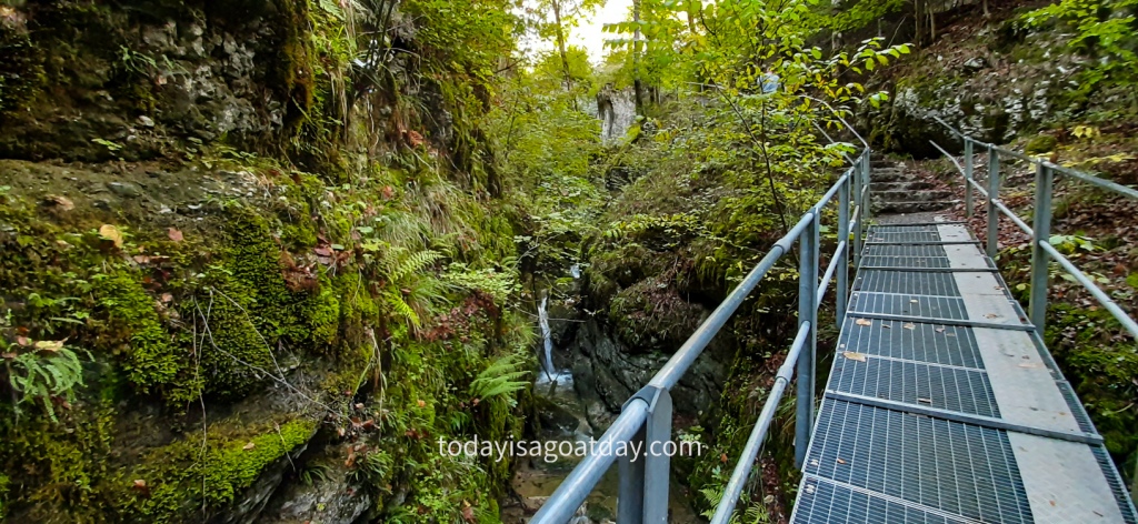
What eventually turned this hike in Olten into a top hike in Olten was the “Teufelsschlucht”, the devil´s gorge!
This is the climax of the “hell” part of our hike between heaven and hell!!!
Didn´t I mention that it does not always require four-thousand-meter-high mountains, crystal-clear turquoise lakes, overwhelming gorges, roaring rivers or spectacular waterfalls?
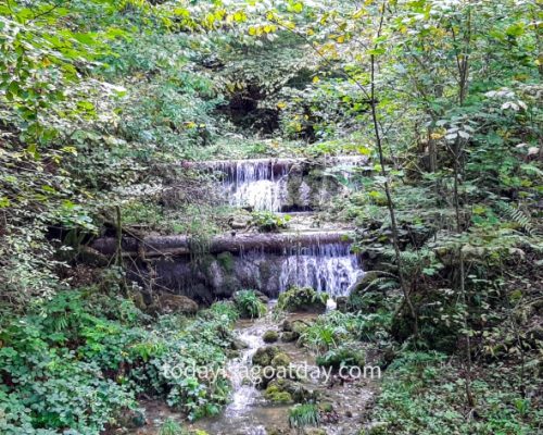
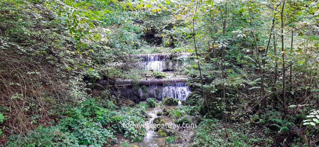
Funnily enough, gorges, rivers and waterfalls were about to appear! Have a look for yourself.
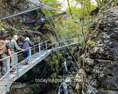
The “Teufelsschlucht” is considered one of the most beautiful of the numerous Jura gorges. Consequently, we were delighted to be able to experience the 2.2 km long path during our final hiking hour.
A few facts about the “Teufelsschlucht”
Let me tell you more about this fantastic “little” canyon along the river “Cholersbach”.
- There are an upper and a lower part of the gorge
- The upper part (Allerheiligenstrasse which is till the edge of the forest) is 610 metres long, has 5 bridges which are 25 m long in total, 18 stair steps and 5 benches
- The lower part (first waterfall at Rihnerhaus to Allerheiligenstrasse), has 32 bridges which are 311 m long in total, 186 stair steps, 2 waterfalls, 1 bench, 1 rockfall gallery, 1 tunnel and 3 fireplaces
- The gorge got its name from a legend in which a devil with a poor soul got lost in the gorge.
“D’ Tüfelsschlucht” legend by Elisabeth Pfluger
Now the legend is actually written in Swiss German and I must honestly admit I had my difficulties reading it. Let me try and translate at least the beginning as good as I can.
Once upon a time (it´s not there, but just sounds nicer!) a devil came along with a poor soul. He intended to deliver the soul to hell. On his way to hell he got lost and ended up in the gorge beside the “Chölerbach” river. “Wow, it´s nice and cool here” he said and jumped, together with the poor soul, into a big puddle. Whoa, there was a lot of steam and (something I did not understand)! But the devil enjoyed bathing in the wonderfully cold water and once he delivered the soul to hell he returned with a lot of his buddies.
Good God!!! What a mess they created! They dived into the river, stood under the waterfalls….and enjoyed (I think).
Alright, my head is smoking already. I could decipher just a little more about a lot of smoke, steam, fire and dark clouds. In addition, there were trout swimming upside down with their silver bellies on the river…okay, I stop it here! Who wants to try out his or her Swiss German skills, can find the full legend hier .
Conclusion
The conclusion is, that this hike is surprising. Diversified. And utterly enjoyable. We took a long breath in and a full breath out: No smoke in the air today!

