Hiking on
Mount Pilatus
05|07|2020
Hiking on Mount Pilatus | Our greatest accomplishment so far!
Challenging and rewarding| Hiking on Mount Pilatus | Tough but worth it!
Die Fakten:
Ausgangspunkt | Alpnachstad (cogwheel railway valley station) | 488m
Endpunkt | Pilatus Kulm | 2072m
The return journey can be made via the same hiking trail, an alternative hiking route (via Lütoldsmatt) or by taking the steepest cogwheel railway in the world (Yeah!)
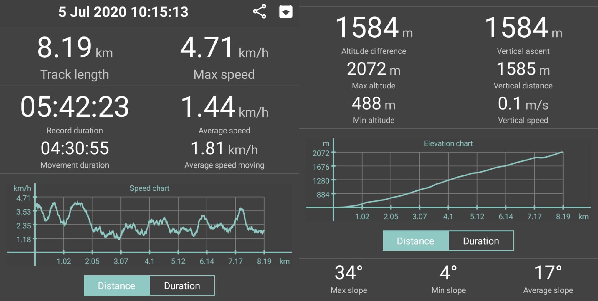
Reine Laufzeit | 4 hr 30 minutes
Aufnahmedauer insgesamt | 5 hrs 40 minutes (breaks are needed, you got to distribute your strength)
Streckenlänge | 8.19 km
Aufstieg | 1584 m | Abstieg | by cogwheel railway from Pilatus Kulm to Alpnachstad
Technischer Anspruch | moderate |Kondition | moderate – difficult
Familienfreundlich? Not suitable for prams
Erfrischung | WC Stopp Ja
Wegpunkte | Alpnachstad – Ämsigen – Pilatus Kulm
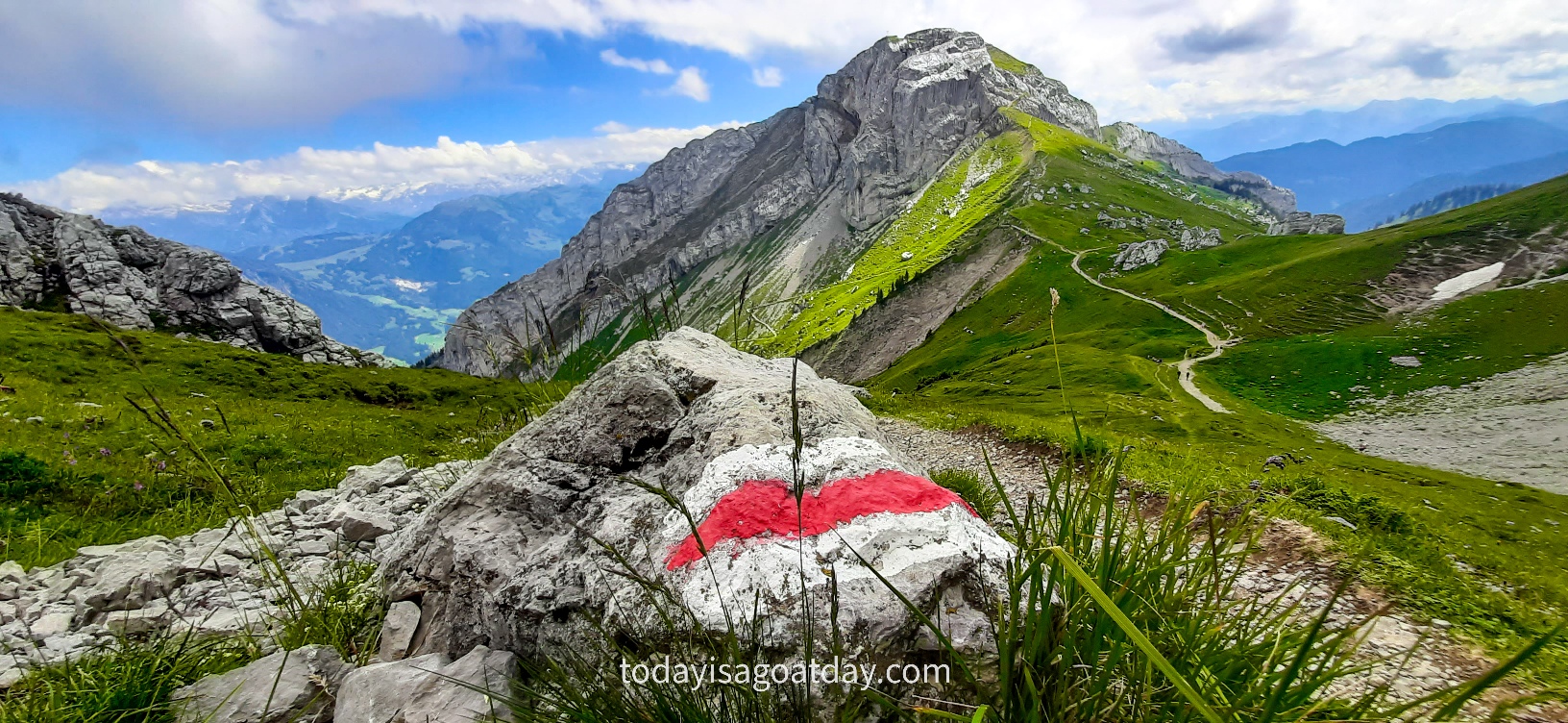
Beschilderung | provided ![]()
Hiking on Mount Pilatus offers mountain adventures galore! For us, this challenging hike has been our greatest accomplishment so far. The strenuous trek from the bottom of the mountain right up to the summit requires dedication, stamina and power. Most importantly, for us, it required words of support, a good sense of humour and a lot of fun!
Mount Pilatus | Mountain of peaks
Mount Pilatus, or simply Pilatus, is a striking mountain massif overlooking Lake Lucerne in Central Switzerland. The mountain does not only have one peak, but several peaks, of which the highest lies at 2,128 m above sea level.
A handful of legendary names and dubious stories
There are a few different legends about the origin of its name. Firstly, one claims that Pilatus was named after Pontius Pilate, who was supposed to be buried there. I looked up further on Pontius Pilate and read that in fact, his corpse was taken to Lausanne. Hang on, now that´s in a totally different canton of Switzerland. Yet another legend buries the man, who ordered Jesus crucifixion, in Italy! Alright, this is getting very confusing, let`s see about the next myth.
Secondly, the following story is, that the mountain looks like the belly of a man called “Pilate”, lying on his back. What???
Thirdly, the name was derived from the word “pileatus”, meaning “cloud-topped”. Now that´s a reasonable sounding legend. I like that. When you start researching this further, however, there is no proof of that dubious story whatsoever.
In conclusion, all these stories sound a little bit far-fetched to me.
Mount Pilatus | Mountain of Dragons
Once you visit the official website, however, the first thing that hits your eye is a fire-breathing dragon.
Well, that has absolutely nothing to do with Pontius Pilate, a fat man or some “cloud-topped-peak”. Therefore, I checked up on one last legend and decided to believe in that. Here it comes:
A record from the 17th century claims, that a “bright dragon with flapping wings” was seen in the mountain. Apparently, the dragon was moving from one cave to another. Exciting. Now that´s good enough for me. In conclusion, I decided to accept this medieval legend as “the truth”.
One way or another, one name or another, the mountain generates interest and curiosity.
A painful memory
We were definitely interested and very curious to find out if we could conquer the “Mountain of Dragons”.
It must be said, that in the past we already hiked on Pilatus, from Alpnachstad via Renggpass to Frägmüntegg. To tell you the entire truth, on this hiking trail, I struggled from the very first minute.
Sometimes you just have one of those “bad days”. During my first Pilatus experience, I had the worst day! All I remember was a painful, aching, sore, steep and long ascent of roughly 1000 metres. I was tired, drained, exhausted, demotivated and in addition, my feet were covered with blisters. In other words, I was destroyed. Hiking on Mount Pilatus at its worst.
Krisztian on the other hand was happy, joyful, pleased, fit, full of energy and liveliness. Hiking on Mount Pilatus at its best.
This time, I said to myself, it was going to be different! It was. For both of us.
The steepest cogwheel railway in the world
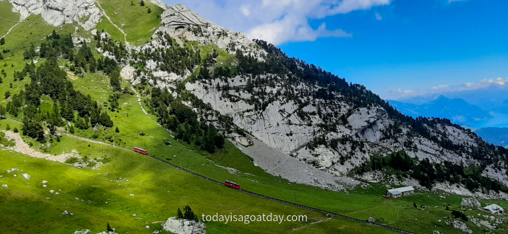
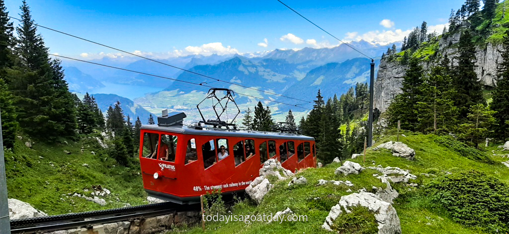
The hiking route, a classic Swiss hiking trail, leads along the steepest cogwheel railway in the world.
When the original engineer proposed building the railway on Mount Pilatus, people thought he had gone mad. Nevertheless, in 1889, the 4,618-meter-long railway with a gradient of 48% opened! The fascinating trains take you from Alpnachstad via Ämsigen right to the very top, Pilatus Kulm. A technological masterpiece.
We were about to walk along with it. Keeping in mind, that this is the steepest cogwheel railway in the world, we could only imagine how this route was going to be. Steep.
Let the steep journey begin
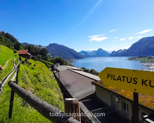
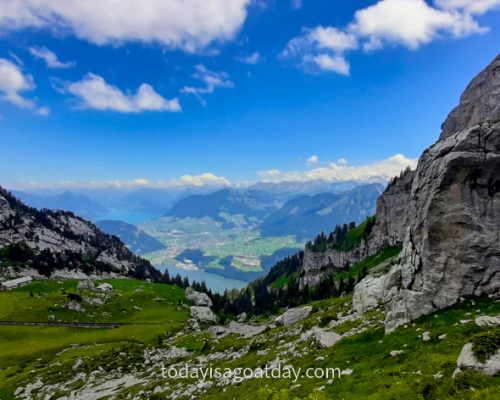
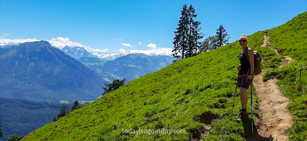
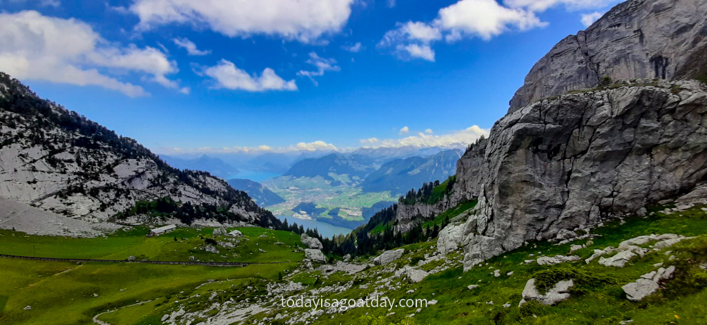
The journey began at the train station. We walked up a street, that led us underneath the train tracks and via a lawn into the forest. Views over Lake Lucerne were beautiful and made us almost forget how exhausting the path was already at the beginning. In the end we had to cover almost 1600 vertical metres. Subsequently, we could not really expect an easy-peasy stroll. Ouch.
A steep ascent and a hangover
At this point in time, it must be mentioned that Krisztian attended a team outing BBQ the day prior. It must also be mentioned, that he did return home relatively late. It must be further said, that with a cheerful BBQ usually flows a few beers. I am sure you are getting the picture.
Regardless of the facts however, one “eager-to-walk” girlfriend, woke up Krisztian the next day at 8am. He promised after all!
Without revealing too much detail, let`s just say, a hangover makes a 1600 metre ascent a little bite more difficult.
A bad conscience, however, along with the “I-can-do-this”-feeling, can work miracles. It can also set free unexpected physical forces!
I can do this s***
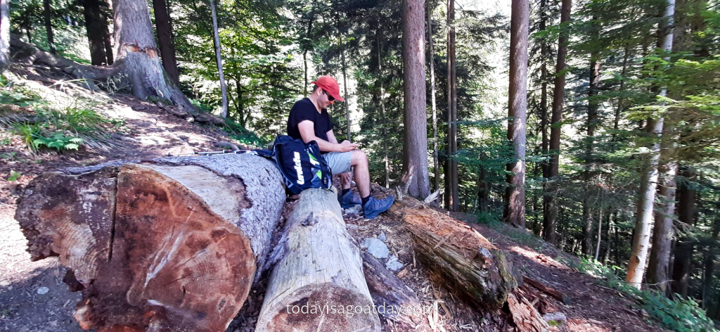
The following 500 metres hike through the forest, however, was tough. It did require a few breaks, words of comfort and motivation, as well as a lot of huffing and puffing.
We were overtaken a few times, but also did overtake others surprisingly. We met, for instance, the same group of four girls roughly six times during our hike. Them overtaking us and us overtaking them. Each time, we entertained ourselves with short conversations like:
- “Hey again, how are you?”
- “Surviving. How about you?”
- “Same here. Just not getting any easier, is it?”
- “No, not really, who would have thought? We just keep on going.”
- “Exactly, we can do this s***. Good luck guys, see you around!”
About two hours later:
- “Hey, we thought you made it up to the top already!”
- “We did and are on the way back right now…” (All girls are giggling)
- “You wish.”
In the end it almost turned into a comedy and made us all laugh heartily. That eased the pain.
A pat on the back
I don´t want to pat myself on the back, but I had a good day. Firstly, I was full of energy. Secondly, determined to climb up that mountain. Thirdly and most importantly, determined to make Krisztian hike up that mountain, too. In other words, I was not ready to give up on, what was about to become our biggest hiking accomplishment.
Therefore, with all our willpowers combined we made it through the forest and into the light.
A good advice
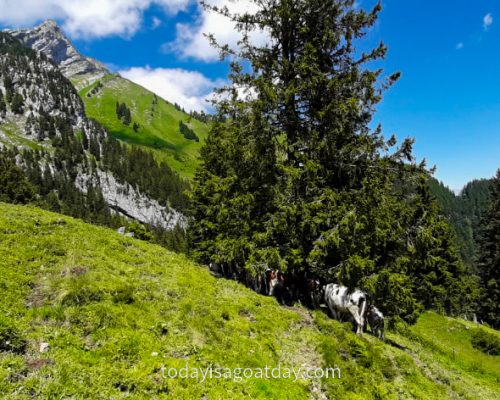
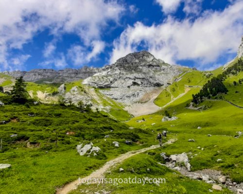
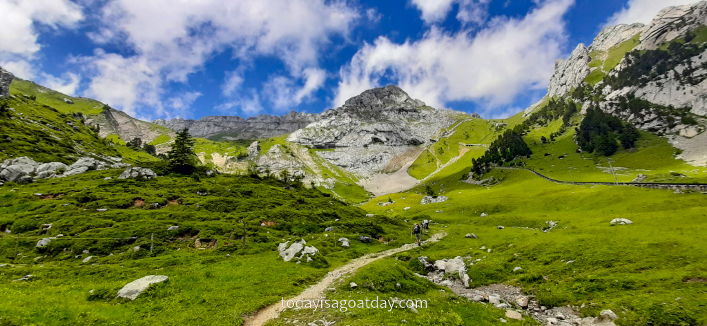
There, on the opening of a great alpine meadow, we met an elderly Swiss lady, who was taking a break. She gave us a very simple, but very useful advice. She merely told us not to stress ourselves, but to take regular breaks. Distributing our strengths evenly would be the key success fact in order to reach the summit.
As we talked to the lady, the cogwheel railway passed by, full of happy passengers going up to the peak. We wanted to go there too! Hence, we continued our ascent via the steepest looking meadow and made it to Ämsigen. Here, at the cogwheel train station at 1360 metres above sea level it was our last chance to give in and call it a day.
Instead of turning around however, we filled our bottles at a water stop and got to enjoy the tastiest water. The freshest, coolest and most urgently-needed spring water!
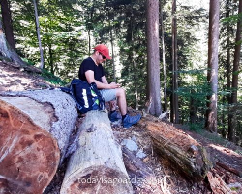
Fully revitalised, we now continued our hike for just a few more metres. Then, leaning back happily on a rock, we took the lady’s advice and relaxed during a well-deserved break.
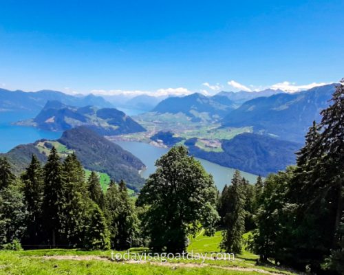
The higher the climb, the better the view
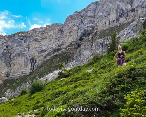
It was not too easy to get up, for some of us. Nevertheless, we made it and continued the hike through a simply wonderful nature.
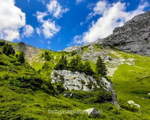
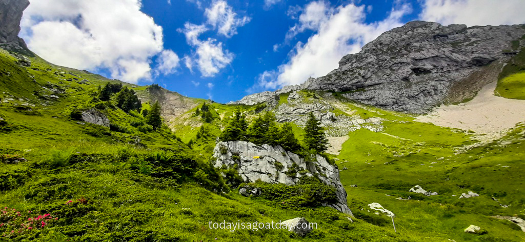
For me, there is always a breaking point in a hike. This is, when you walk past the tree line and the surrounding changes. Rocks replace roots, stones replace lawns, grey replaces green.
You know that you are getting higher and higher. The higher the climb, the better the view, so they say. We believe them.
The final part is the hardest part
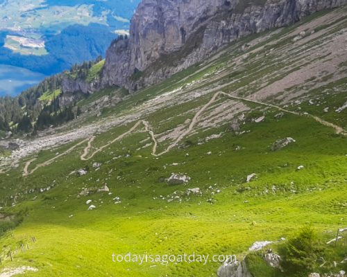
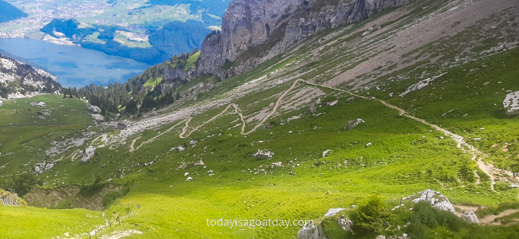
The final part of the hike can, however, be the hardest part. Hiking on Mount Pilatus was no different. The path seemed to never end, despite the astonishing beauty around us.
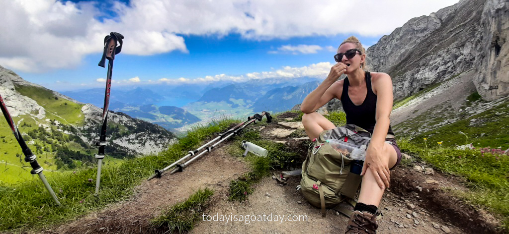
Zig-zagging our way upwards, our energy levels went slowly down. It took some fruit and nuts and a few more short breaks to keep us going. We were so close now. We simply could not give up under any circumstances.
We did it!
Out of a sudden the peak was in front of us. It was still a good few more metres and a solid hour of walk, but we already knew that we would reach the summit!
We dragged ourselves forward, step by step.
Thanks God, for the walking poles, that we could cling on to during the last few metres. Before we knew it, we made it.
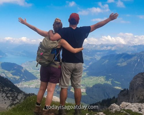
After 1584 metres and 5 hours 40 minutes of hiking we were finally standing at the top! We took a full breath in and a long breath out. Today we were really proud of ourselves!

